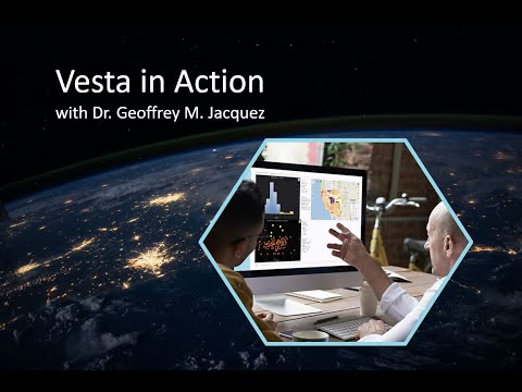
What is Vesta?
Vesta stands for Visualization and Exploratory Space-Time data Analysis
Vesta visualizes and detects patterns in the health environment, so you can target interventions, assess policy effectiveness, and control disease. The software features empower users to visualize temporal and spatial trends in a variety of formats.
Our team has implemented a fresh, user-friendly design that makes for smooth data importing and visualizations. The maps created in Vesta overlay data on map tiles, similar to viewing a route on a digital map.
Who can use Vesta?
Anyone can learn to use Vesta!
Built on the foundation that BioMedware created for geospatial data analysis, Vesta is designed to be accessible for non-expert users, as well as seasoned geostatisticians.
New users can continue to Navigating Vesta to learn more about how to get started with Vesta, and SpaceStat users can continue to Vesta vs. SpaceStat to understand differences between the two.