Vesta Data Security
We’re committed to keeping your data safe. Read below how Vesta handles user data, licensing, and third-party integrations—so you can feel confident in how your information is protected.

How Vesta Protects Your Data
License Information Retention
Vesta single-user licenses are encrypted and validated regularly, keeping software access secure.
Data Imported into Vesta
Vesta does not send, store or remotely save any data imported by the user—only users have access to their data.
Third-Party Software Library
Software libraries cannot read or save data imported into Vesta, so your data is never shared.

License Information Retention
When BioMedware generates a license, user attributes are embedded into the corresponding license key metadata.
At Vesta startup, the license key is validated for:
- The expected format/structure
- Is cryptographically signed with a BioMedware signature and stored on our third-party license generator (Keygen)
- Can be unencrypted/decoded
Vesta performs license validation for single-user license holders every 7-days with Keygen; this validation requires an internet connection. A 3-day grace period is in place to allow users without immediate internet access. Additionally, a machine fingerprint is used in the validation process.
Data Imported into Vesta
Vesta does not send, store, or remotely save any data users import into the software. Any data that is imported into Vesta is only available to the user and is not stored or retained outside of the user’s session in Vesta.
Data saved to Vesta projects or exported via reports and visualizations are only available to the user.


Third-Party Software Library
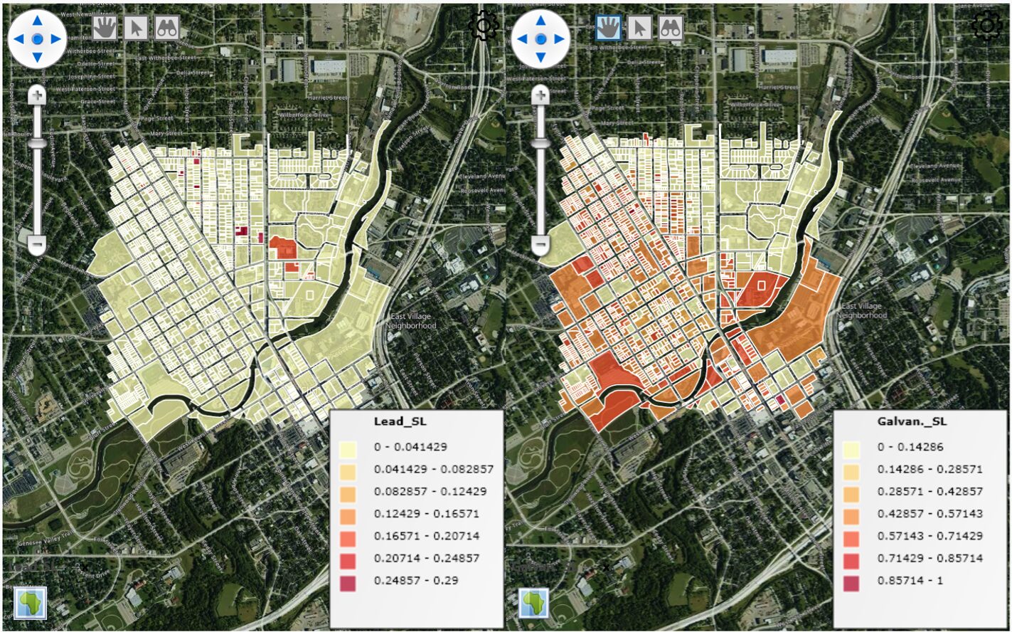
Vesta utilizes third-party software libraries for generating maps and charts. When creating Map visualizations in Vesta, map tiles are provided from MapTiler to use in ThinkGeo to create a background base map. Base maps are only received and displayed in the Map visualization; Vesta does not send data or user feedback to ThinkGeo.
Users should be aware that geographic locations are used to create Maps, so users may choose to use ID proxies if working with sensitive data. The map querying function will also display metadata for each geographic object when hovering over it. However, the metadata is local to Vesta and is not shared with ThinkGeo or MapTiler.
For charting visualizations, Vesta uses SciChart libraries. This data is contained within Vesta on users’ machines, and there is no communication with servers for SciChart libraries from Vesta.
