Modern technology wouldn’t be possible without geographical data. People use geographical data in their daily lives, whether they notice it or not! Have you ever used a GPS to find the best route to get to work? That’s geographical data at work!
Geographical data is everywhere, all the time, but many different types of data exist. Two of the more popular terms you’ll see are GIS and Geospatial, and while they are often used interchangeably, some key elements differentiate these two. Let’s try to disentangle them.
What is Geospatial?
Geospatial is a broad term referring to almost anything that has to do with locations.
Merriam-Webster defines geospatial as:
“consisting of, derived from, or relating to data that is directly linked to specific geographical locations”
Geospatial refers to location-based data and the many things that can be done with such data: visualization, analysis, knowledge-extraction, and decision-making. Essentially, “geospatial” is a catch-all term for many geographical features.
What is GIS? What is GISci?
Up until a few decades ago, “GIS” was an acronym for ‘geographic information systems’. It’s still widely used in that sense today, but another meaning was put forward when the geographer Michael Goodchild and colleagues created the field of Geographic Information Science.
The acronym “GIS” then began to refer to both Geographic Information Systems, and sometimes to Geographic Information Science. To resolve this ambiguity, the term “GISci” was coined to refer to Geographic Information Science.
Much like the term “computer science”, GISci recognizes that the use of geographic information system technologies, and what has been termed spatial thinking, is a scientific discipline in its own right. It’s now preferable to use “GIS” to refer to geographic information systems, and “GISci” to refer to geographic information science.
What is Geospatial technology?
Geospatial technology is any technology that collects, uses, or extracts information and knowledge from spatial data.
GIS is only one form of geospatial technology. Some other examples of geospatial technology include satellite imaging such as LANDSAT, active positioning systems such as radar and LIDAR (these send a “ping” and determine location based on how that ping bounces off a target and reflects back to the sensor), geocoding (which determines x,y coordinates from addresses), and advanced spatial and space-time technologies such as Vesta and SpaceStat.
But you don’t have to have fancy software to use geospatial technology, if you carry a cell phone then you’re using geospatial technology every day!
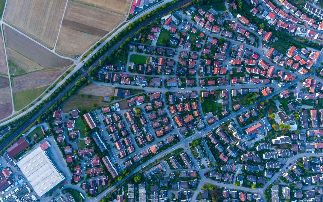
What is Geospatial data?
Geospatial data is all data collected from geospatial technologies, such as those mentioned above, and the data products that result from analyses of geospatial data. Geospatial data works with geospatial solutions to record:
- Census data
- Topography
- Zip codes
- GPS data
- Mapping coordinates
Geospatial data is used in nearly every industry including public health, agriculture, retail, and engineering. By using geospatial data, researchers can better understand and study the world around us.
GIS and Geospatial data boils down to one thing
It’s a fair bit of alphabet soup, but at the end of the day, just remember that “geospatial” is a broad term that refers to anything location-based. GIS is an acronym for “geographic information systems”, and GISci is where the rubber hits the road – Geographic Information Science. Take a look at our GIS solutions and get in touch with our team for more information.