
BioMedware’s Experience with Digital Summer Clinic Interns: Path to Success
Together with Ann Arbor SPARK, the Eastern Michigan University Center for Digital Engagement offers a paid Digital Summer Clinic internship. This program helps students and recent graduates find careers in the digital space. These internships are available to all...
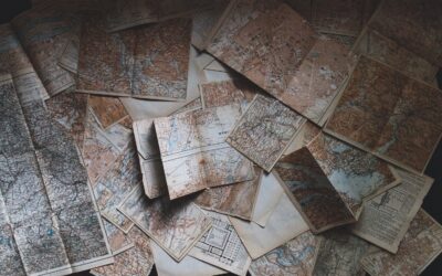
The Power of Scaling: How It Alters Map Interpretation and Impacts Data Analysis Accuracy
Maps play a crucial role in representing spatial information, allowing us to visualize and analyze data in a geospatial context. However, one critical aspect that significantly influences the interpretation and accuracy of data analysis on maps is its level of detail...

7 Features to Consider Before Purchasing a GIS Solution
Not all GIS software is created equal. When deciding on which GIS software to purchase, there are several things you should look for. #1 Purpose What will you be using the software for? Think about the application area first, such as spatial health analysis, climate...
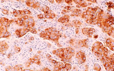
The National Cancer Plan of 2023
Recently the National Cancer Institute released its National Cancer Plan which provides a comprehensive framework to develop cancer control strategies, share knowledge, and accelerate progress. The overall objective is to end cancer as we know it; a target that has...

BioMedware Space-Time Analysis Workshop At Louisiana State University
Louisiana State University Shreveport (LSUS) and BioMedware are pleased to announce a workshop providing FREE in-person training on BioMedware software for GIS data. The software is used for the visualization, analysis, modeling, and interactive exploration of...

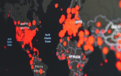
GEO AI and Its Impact on Public Health
Artificial intelligence (AI) has become a hot topic of discussion with the recent release and growing popularity of ChatGPT. One of the areas where AI is making a significant impact is in public health. The integration of geographic information systems (GIS) and AI...

The Change of Spatial Support
In geostatistics, a spatial support refers to the size and shape of the area or volume over which a variable of interest is measured or observed. Examples of spatial support include the volume of a soil core analyzed to measure pH, the pixel size in satellite imagery,...

What is the Difference Between Geostatistics and Geospatial Analysis?
Geostatistics and geospatial analysis are related concepts, but they refer to different aspects of spatial data analysis. Let’s take a look at the difference between geostatistics and geospatial analysis and how these two concepts work together. What is...
How Geospatial Analysis Has Evolved Over Time
Geospatial analysis is the process of collecting, storing, analyzing, and visualizing geographic data. It has been around for centuries, but how it’s done has changed dramatically over time. The beginning of GIS The earliest known use of geospatial analysis was by the...

BioMedware Awarded Business Accelerator Grant from SPARK
BioMedware has been awarded a SPARK Business Accelerator Grant to fund professional services for marketing by Merithot Creative Marketing and for sales by Maximus Ventures. The goal is to accelerate consumer adoption of BioMedware’s new product, Vesta. The proposal...